
We drove from Darwin to Kakadu National Park stopping for morning tea at the Old Bark Hut. 
The name Kakadu comes from an aboriginal flood plain language called Gagudju. We camped at Kakadu Lodge, Jabiru in the North of Kakadu.
The flood plains are extremely beautiful.
 The Aurora park at Kakadu has great facilities, including the best pool of any caravan park [or luxury hotel] we have stayed in. We enjoyed swimming in it at the beginning and end of each day.

We visited Ubirr which is a Rock Art Gallery and a popular place to watch the sunset. 
The rock art functioned as a school for the children, a kitchen and a message board, telling what was available and how to eat it plus the news of the day.
The drawing of the white man [hands in pocket] records contact.
 Some of the drawings of ships in the park are so accurate they can be used to identify the actual ship that passed through the Arafura sea over the last centuries.
We flew over Kakadu and Arnhem Land as only about 1% can be seen by road.
Arnhem Land was named by Matthew Flinders after the Dutch ship Arnhem [named after the Dutch town of Arnhem] which visited in 1623. 
The first white men introduced themselves as Hollanders and the indigenous name for whites is still Ballander a corruption of this word.
 We had coffee and cakes cooked by a French Pastry chef at the Border Store which is on the Border between Arnhem land and Kakadu.
It shows that no matter how remote you are you can sometimes find a French chef making great mille feulle.


We went on the Guluyambi Cruise up the East Alligator river and saw a lot of [more than twenty] crocodiles. Their population is booming at the moment.
The three Alligator Rivers were named by Phillip Parker King who explored the region in 1820 after travelling in South America. He mistook Crocodiles for Alligators, hence the East, West and South Alligator Rivers. He was not very imaginative either.

The following day we went on the Magela Cultural and Heritage tour to Arnhem Land. Arnhem Land is aboriginal owned and one needs a permit, in this case obtained by the tour company.

We were very fortunate in our aboriginal guide Gary Djorlomon, who gave us an excellent tour. We were privileged to hear his many stories.
We climbed Injalak Hill, visited Injalak Arts Centre and took a boat cruise on Injuku Billabong where we saw teeming wildlife.

The next day we went on a tour of the Ranger Uranium Mine. The trade off for having this mine was the creation of Kakadu National Park. Mining towns are comfortable, they have good water, supermarkets and made roads.


We attended the annual Mahbilil Festival at Jabiru. Mahbilil is the name of the afternoon breeze which comes at this time of year. All the locals from around the area come together at the festival which was a combination of corroboree and school fair, including spear throwing and didgeridoo competitions.
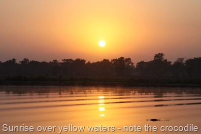
We took the Yellow Water Cruise out of Cooinda.
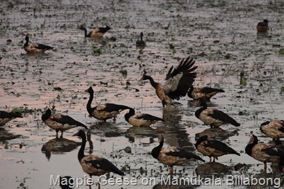
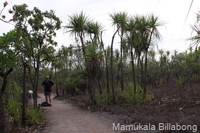
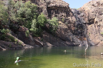
We also visited the Bowali Visitors Center, the Warradjan Aboriginal Culture Centre, Nourlangie Rock, the Mamukala Billabong and Gunlom Falls.
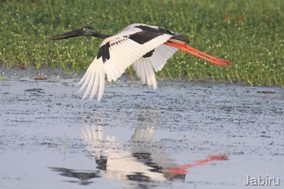
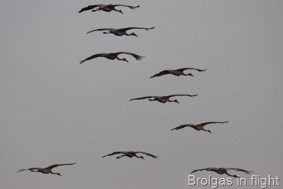
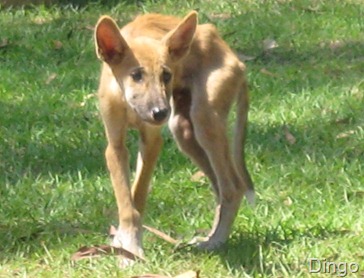
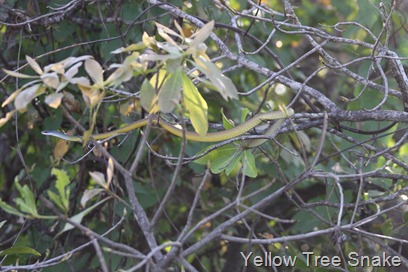
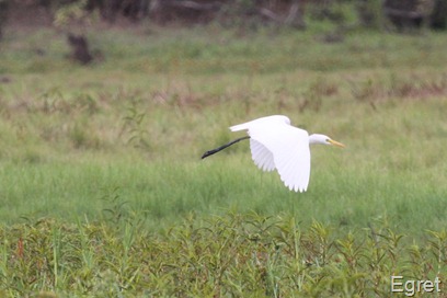
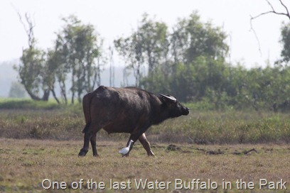
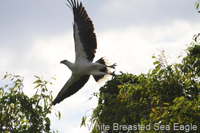
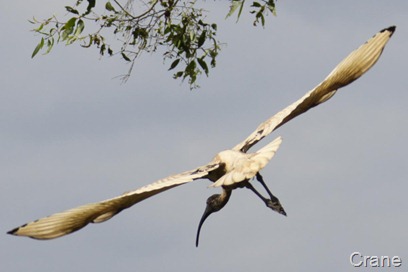
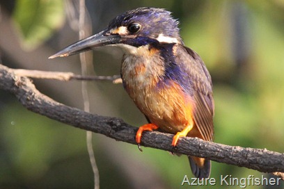
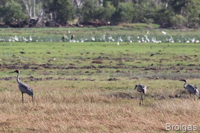
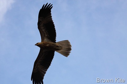
The amount of wildlife we saw was astonishing.
 We arrived in Batchelor on the 24th September and stayed at the Batchelor Caravillage. They feed the parrots each evening.
 Of the many stories about the naming of Rum Jungle the best and most likely concerns the bullock team carrying the rum rations for the construction workers on the Overland Telegraph in 1870. Why all the rum was shipped in one lot is a mystery, but not surprisingly it got bogged in the East Finiss River, and the only solution was to lighten the load. The bullockies drank the rum, having one of the better binges in history and leaving the name Rum Jungle behind them.


 We drifted down Butterfly Gorge on the good ship rubber tyre which saved us scrambling a kilometre straight up and down. Unfortunately we only have this glimpse of the gorge as our camera is not waterproof and the good ship rubber tyre is not all that stable. We had fun though tipping each other off. The gorge was stunning. Tricia is happy in water anywhere ( almost).


 Some of the drawings of ships in the park are so accurate they can be used to identify the actual ship that passed through the Arafura sea over the last centuries.
 We had coffee and cakes cooked by a French Pastry chef at the Border Store which is on the Border between Arnhem land and Kakadu.


![NEW - THE MAPS [By Popular Request]](http://1.bp.blogspot.com/-Vajyd8kXoSk/TtvtX94QV7I/AAAAAAAAEBk/0MJEoH3UojI/s187/Around%2BAustralia.jpg)